Down the Lea: Tottenham Lock to Lea Bridge
An easy towpath stroll south from Tottenham Hale along the River Lee Navigation, past marshes, moorings and Victorian parks. A pint on the water at one of Fuller's smallest pubs, a stretch of old Hackney parkland, then lunch on the riverside terrace at the Princess of Wales.
North-east London's great green corridor: the River Lea, tamed into the Lee Navigation for the barges that once carried cargoes such as malt, grain and gunpowder down towards the Thames. Today the towpath is part of the Lea Valley Walk, and this stretch is one of its loveliest, with narrowboats moored along the bank and open marshland on the far side.
It's flat, easy and almost all on the towpath, a gentle half-day with two very different riverside pubs.
- Go at the weekend if you can. The Anchor & Hope opens at noon on Saturdays and Sundays but only from 1pm on weekdays (check before you go). It serves no food, so save your appetite for the Princess of Wales.
- Share the path. The towpath is popular with cyclists: keep left, and listen out for bells.
- It can be muddy after rain, so wear decent shoes.
-
Underground station
Tottenham Hale station
Ferry Lane, London N17 9NA
Served by the Victoria line and trains from Liverpool Street and Stansted. Look out for the mural of the old River Lea ferry on the Victoria line platforms, a reminder of the crossing that gave Ferry Lane outside its name.
Leave the station and turn left along Ferry Lane, heading east towards the river. Tottenham Lock is about five minutes' walk away, among the new riverside flats.
-
Landmark
Tottenham Lock
Ferry Lane, London N17 9NE
Lock No. 17 on the River Lee Navigation is a paired lock: two chambers side by side, big enough for barges of up to 130 tons. It was moved here from nearer Stonebridge when the new cut was dug. Pause on the bridge to watch a narrowboat work through if one's coming.
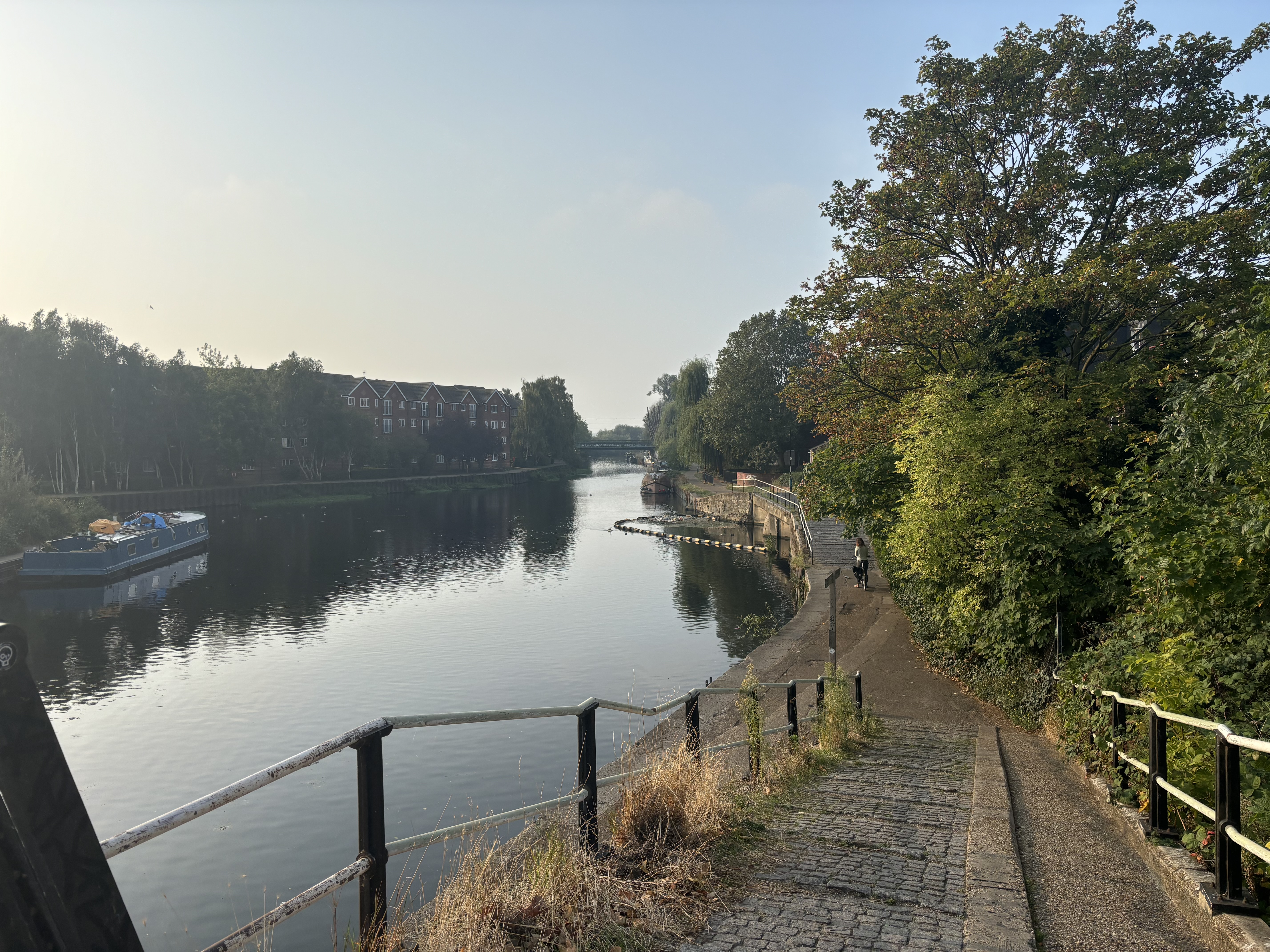
Turn right down the cobbled ramp onto the towpath and head south, with the water on your left. Over the next half-hour you'll pass under two railway bridges and alongside Markfield Park, with its Victorian beam-engine house. Then come the moorings of Springfield Marina, dug out of an old loop of the river in 1970. Across the water, Walthamstow Marshes stretch away to the east.
-
Pub
The Anchor & Hope ↗
15 High Hill Ferry, London E5 9HG
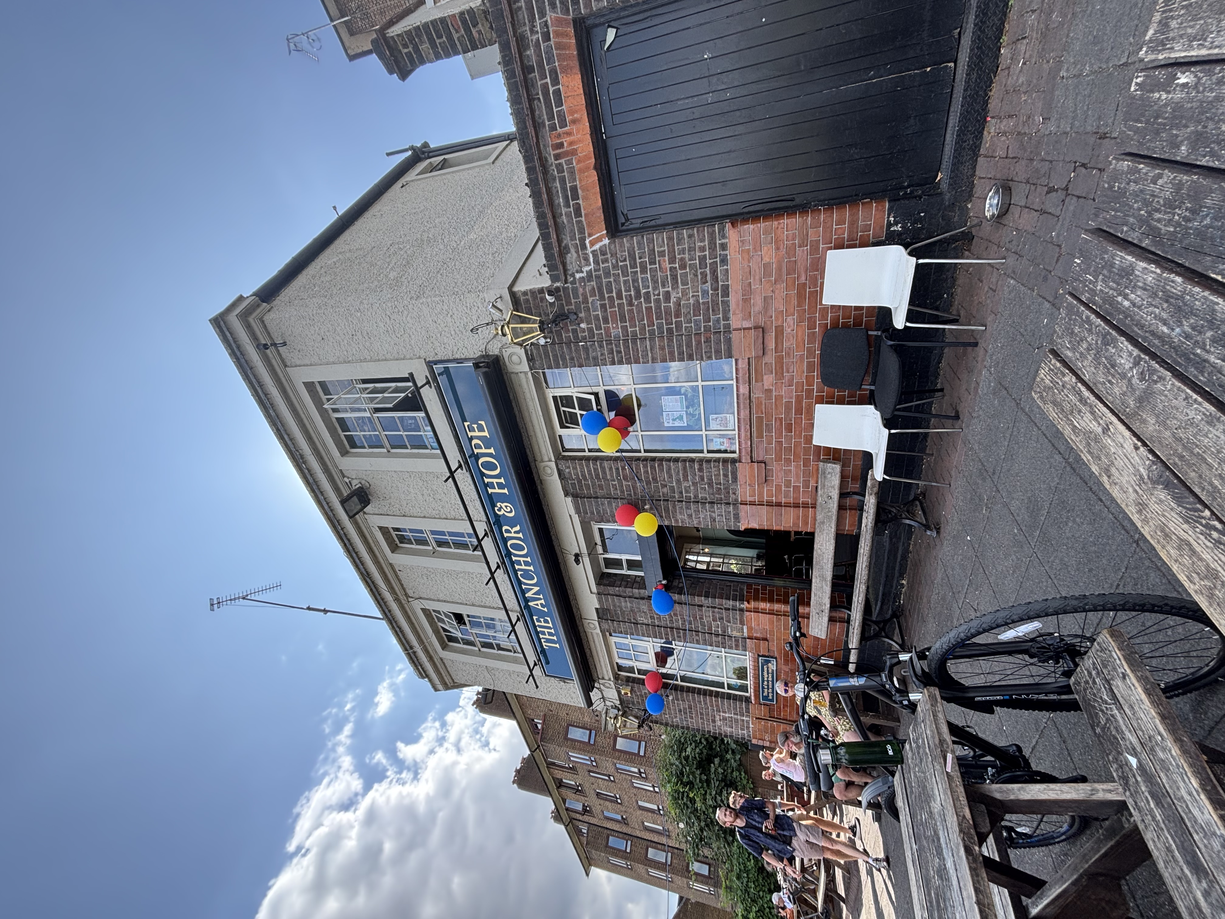
Just past Springfield Park, right on the towpath, is one of Fuller's smallest pubs, a riverside beerhouse built in 1851, when this bank was home to watermen, bargemen and dyers. It has been a single room since a dividing wall came down in 1962. CAMRA lists its little interior as being of special national historic interest. Look up at the pub's name carved in stone above the corner door.
It's a proper local, full of regulars and people from the boats moored outside. The tiny bar fills fast, and everyone wants a bench by the water anyway. Fuller's London Pride and ESB are the regulars. A neighbouring pub, the Robin Hood, once ran the High Hill Ferry across the river; it was demolished in 2001.
No food, and on weekdays it's closed until 1pm.
-
Park or garden
North Millfields Recreation Ground ↗
Millfields Park (north of Lea Bridge Road), London E5
Carry on south along the towpath for about ten minutes, then step off to the right into North Millfields, the northern part of Millfields Park. The fields here were named after the corn and timber mills that once stood by the river, and were laid out as a public recreation ground in the 1880s.
Its past is a mixed one: this part was once a brickfield, where diggers turned up fossil bones of woolly rhino and elephant in the 19th century. Clapton Orient, today's Leyton Orient, played football close by in the early 1900s. Now it's broad, open grass lined with avenues of mature plane trees, and a Local Wildlife Site. There's a playground and toilets in the north-west corner.
Wander across the grass towards Lea Bridge Road and the river; lunch is at the corner.
-
Pub
Princess of Wales ↗
146 Lea Bridge Road, London E5 9RB
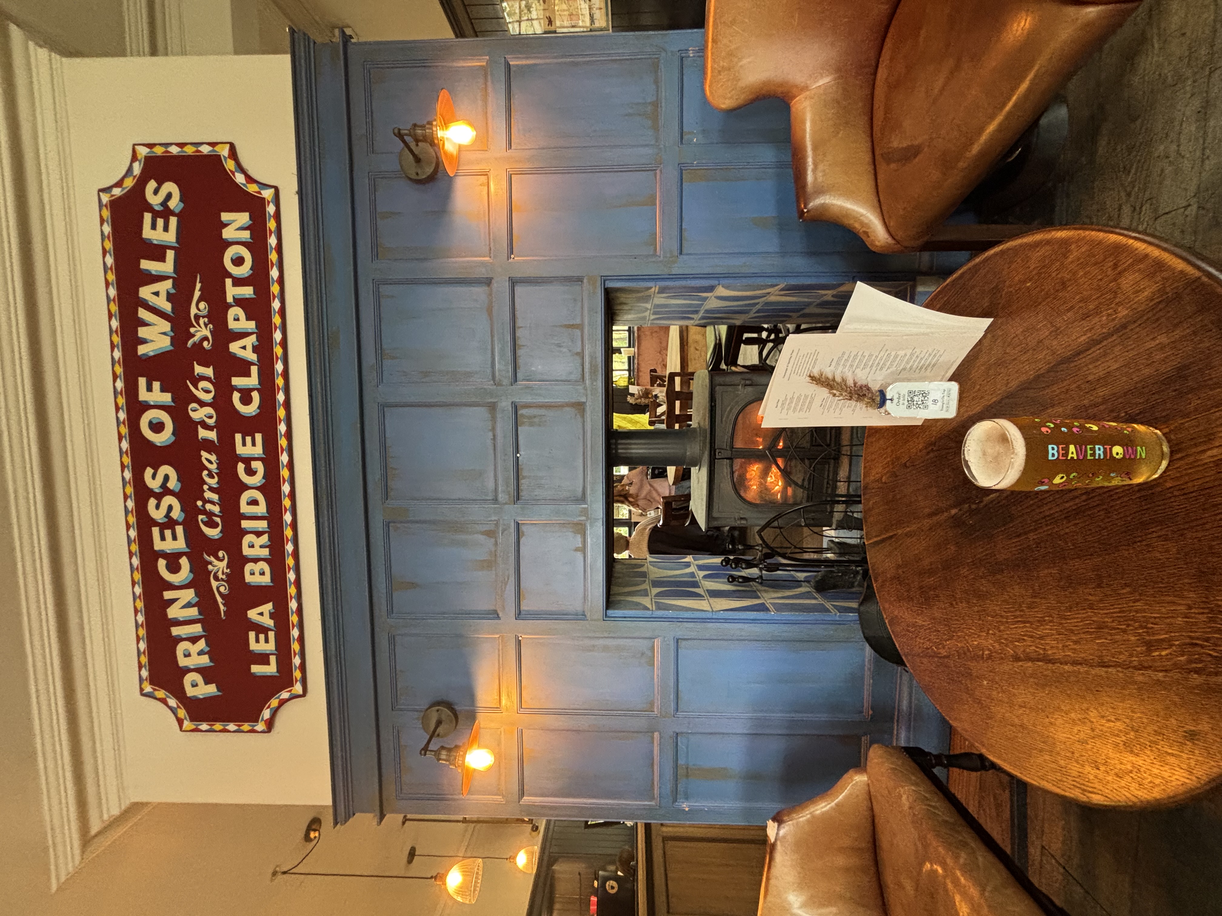
Where Lea Bridge Road crosses the river stands a pub that has been here since at least 1851. It was the Prince of Wales until 1997, when it was renamed. Lea Bridge Road is the traditional dividing line between Upper and Lower Clapton, and the borough boundary with Waltham Forest runs down the middle of the river right outside.
It's now a Young's pub with a smartened-up interior, but the big draw is its large terrace on the water, by the moored narrowboats. Expect pub classics, burgers and a Sunday roast, with Young's ales plus guests; book for Sunday lunch.
Getting home: Clapton station (Overground) is about 10 minutes' walk west up Lea Bridge Road, or take a 48, 55 or 56 bus.
Notes from fellow walkers (0)
No comments yet — been on this walk? Add a tip below.